

Hurricane Lala Missed Hawaii. The Rain Did the Damage.
The storm never came ashore, yet it swept away homes, cut power to tens of thousands and dumped more than two feet of rain on the Big Island.

Hurricane Lala pushed a 140 mph gust across the summit of Mauna Kea at 12:15 p.m. Saturday, a reading that would count as Category 4 strength almost anywhere else. The catch is where the sensor sits: 13,803 feet above the Pacific, on a mountain with an observatory complex and essentially no residents. Down where people actually sleep, the strongest gust FOX Weather logged was 80 mph on Molokai, followed by 78 mph at Holualoa and 77 mph at Kohala Ranch.
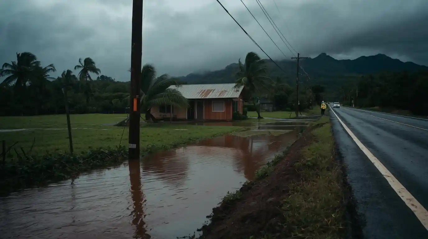
The wind number traveled the internet. The water did the damage. Rain gauges at Laupahoehoe on the Big Island's Hamakua coast recorded 25.48 inches in 36 hours, with Nahuku and Hakalau both clearing 21 inches. In Naalehu, in the rural Kau District at the island's southern end, two homes were swept off their foundations. CBS News reported one death, in a vehicle crash near the island's southernmost point.
None of this came from a landfall. Lala's eyewall scraped South Point and then kept going, and Hawaii has not taken a direct hurricane hit since Iniki flattened parts of Kauai in September 1992. That is the thing worth sitting with: a storm that technically stayed offshore still knocked out power to tens of thousands of customers, shut two commercial airports, closed ports and put 180 Hawaii National Guard members on the road.
The Number That Came From 13,803 Feet
Summit sensors on Mauna Kea and Mauna Loa routinely read far higher than anything at sea level, because at that altitude the air is moving through the upper part of the storm's circulation with almost no friction from terrain or buildings. Treating 140 mph as what hit Hilo would be like quoting the wind speed outside a cruising airliner as a street forecast. It is real, it is measured, and it describes a place with roughly nobody in it.
Mauna Kea also picked up snow during the storm, in the middle of August. That happens most winters at the summit and is genuinely odd in high summer, which is part of why the mountain kept showing up in coverage all weekend.
What Hurricane Lala Actually Did on the Ground
Strip out the summit reading and the storm still had a serious weekend, spread unevenly across four counties. Most of the pain landed on the windward side of the Big Island, where terrain wrings water out of tropical moisture the way a fist wrings a towel.
Water, Not Wind, Took the Homes
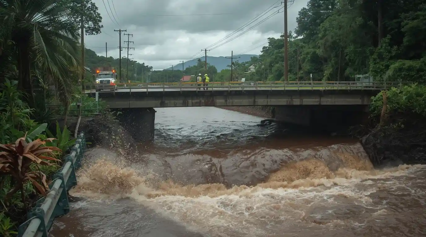
Flash flood emergencies covered stretches of the Big Island as streams that are ankle deep most of the year turned into brown chutes. Forecasters projected storm totals of 30 to 35 inches on the windward slopes before the system cleared. National Weather Service messaging was unusually blunt, warning that the flash flooding was life-threatening and telling people to climb to higher ground rather than drive.
A 42-Mile Stretch of Grid Went Down
Utility poles fell across a 42-mile span of transmission line on the Hamakua coast, according to FOX Weather, which counted more than 84,700 customers without power statewide at the peak. CBS News put the statewide figure above 125,000. Hawaii County absorbed the bulk of it, with roughly 63,000 outages, followed by about 13,600 in Maui County and 7,900 on Oahu.
Airports, Ports and Buses Simply Stopped
Hilo International and Kona International both closed. The Coast Guard shut commercial ports on Hawaii Island and in Maui County. On Oahu, TheBus suspended every route and crews closed Kalakaua Avenue in Waikiki because debris was falling. Schools and libraries shut statewide.
Please be safe. You definitely want to be home, do not be out on the roads. — Gov. Josh Green

How It Stacks Up Against Iniki, Iselle and Lane
Iniki remains the benchmark disaster: a Category 4 that came ashore on Kauai in 1992, killed six people and caused about $1.8 billion in damage, the equivalent of roughly $4 billion today. Iselle reached the Big Island in 2014 after weakening to a tropical storm. The closest comparison for this weekend is Lane in 2018, which stalled south of the islands and dropped about 52 inches near Mountain View, one of the largest tropical rainfall totals ever measured in the United States.
Set against that, Lala's 25 inches is severe but not historic. The pattern is the familiar one for Hawaii: the islands usually dodge the eye and eat the rain.
If You Have a Hawaii Trip Booked
Check your carrier's waiver page before you touch a rebooking, because airlines typically issue fee-free change windows tied to specific dates and airports, and those windows expire fast. Hilo and Kona will clear their backlogs before the roads do. Expect closures on Highway 11 and Saddle Road stretches, saturated ground that keeps sliding for days after the rain stops, and brown-water advisories along east-facing shores that make swimming a bad idea regardless of how the sky looks.
What to Watch This Week
The immediate risk is what always follows a soaking like this: hillsides that fail after the storm has moved on, and outages that stretch into days once poles have to be replaced rather than reset. Watch Hawaiian Electric's restoration estimates for Hawaii County, the Central Pacific Hurricane Center's advisories as Lala tracks west, and county alerts for boil-water notices. If you have family on the Big Island, assume patchy cell service and text rather than call.



Comments 0